Underground drainage is largely invisible, and assumptions about where drains run or who owns them are a common source of problems during building projects and property transactions. Drain mapping removes that uncertainty. It gives architects, engineers, and property owners accurate information about the drainage layout before decisions are made, which reduces the risk of costly design changes, planning delays, or inadvertent building over a water authority asset without the necessary consent. For facilities managers and property management teams, it also provides a clear record of the drainage infrastructure across a site, which is useful for maintenance planning and future works.
Why choose us for drain mapping and tracing in London?
Before building work begins, or when a drainage problem needs to be understood in full, knowing exactly where the drains run and who owns them is essential information. Without it, extensions get designed around assumptions, build-over consents get delayed, and responsibility disputes take longer to resolve than they should.
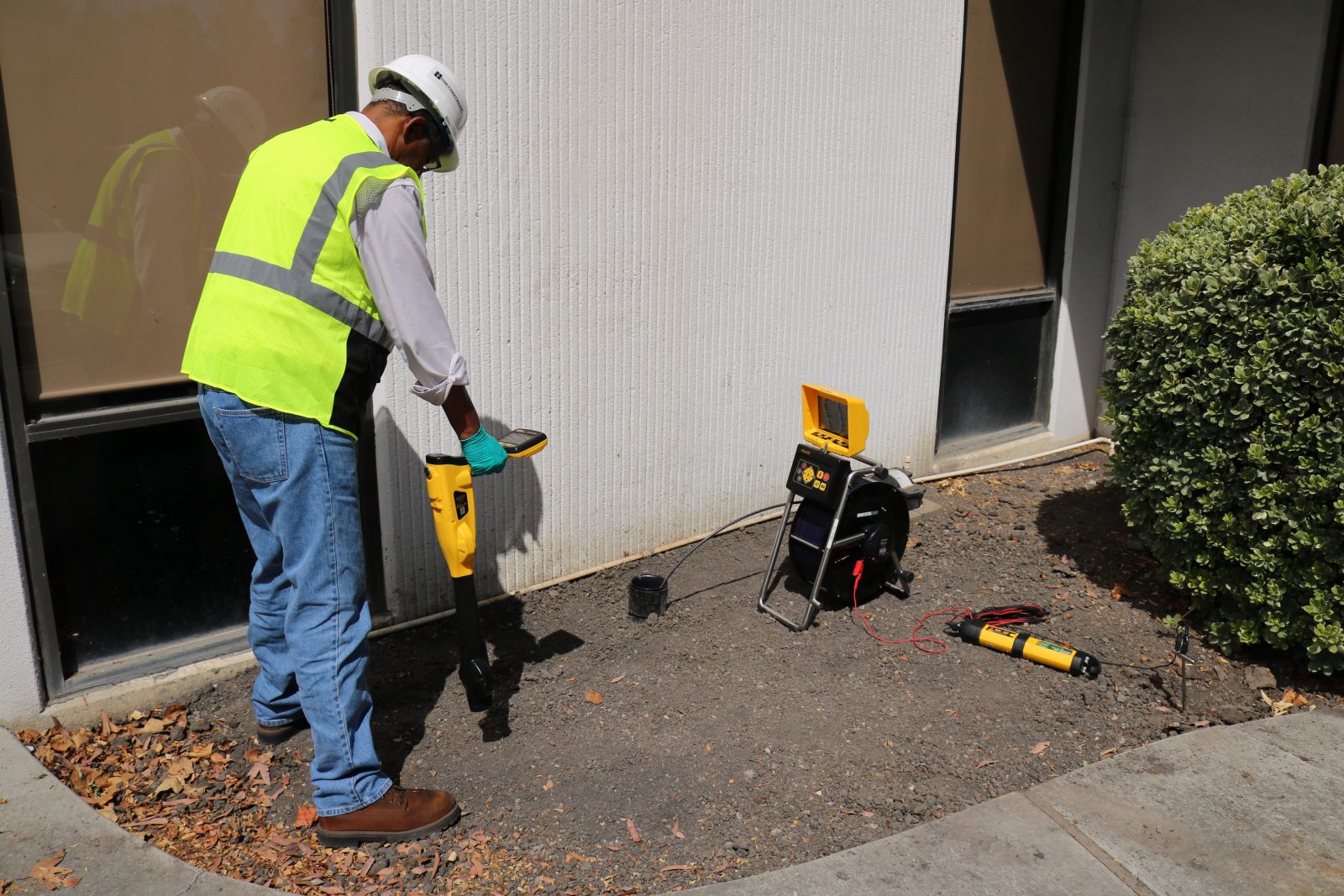
Our drain mapping and tracing service produces an accurate site plan of the underground drainage system, showing pipe locations, flow directions, connections, and ownership boundaries between private and water authority assets. All of our mapping operatives are fully certified and trained in the use of specialist mapping equipment, and we use a combination of underground sondes and tracing dyes to ensure the results are accurate and clearly documented.
Drain mapping is carried out as a standalone service or alongside a CCTV drain survey or build-over survey, depending on what the project or situation requires.
Enquire Today
Enter your details below and a member of our team will be in touch
How does drain mapping and tracing work?
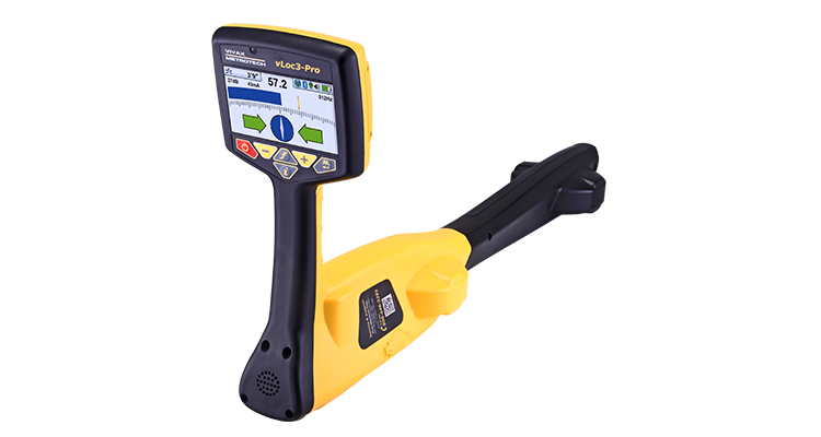
We use two primary methods, often in combination. Underground sondes are devices inserted into the drainage system that transmit a high-frequency signal, picked up by a locator above ground to pinpoint the exact position and depth of the pipework. This allows us to map the drainage layout accurately without any excavation.
Drain tracing uses coloured dyes introduced at specific points in the system, such as a WC, bath, or shower outlet, to trace the direction of flow from source to outlet. We use three separate dye colours throughout the process and flush the system with clean water between each test to prevent cross-contamination. The results confirm how the system connects and where each outlet discharges.
Once the survey is complete, the findings are compiled into an accurate site plan that can be used for planning applications, build-over consent, or to clarify ownership and responsibility.
Frequently Asked Questions
Is specialist equipment required?
Yes. Accurately mapping underground drainage requires equipment that can locate pipework without excavation. We use underground sondes, which transmit signals that are picked up by a surface locator to identify pipe position and depth, alongside tracing dyes to confirm flow direction and connectivity. Our operatives are fully trained and certified in the use of this equipment, which ensures the site plan produced is accurate and fit for purpose, whether it’s being used for a planning application, a build-over consent, or an ownership determination
Is a CCTV survey required too?
Not always, but the two services are often carried out together. Drain mapping tells you where the system runs and who owns it. A CCTV survey tells you what condition the pipework is in. For build-over surveys, both are typically required, since you need to know the location of the drain before work begins and have documented evidence of its condition before and after construction. For planning purposes where condition isn’t the primary concern, mapping alone may be sufficient. We’ll advise on what’s needed when you get in touch.
What is drain tracing?
Drain tracing is the process of following the path of a specific drain or outlet through the system to confirm where it connects and where it discharges. We introduce a coloured dye at a known point, such as a toilet, sink, or gully, and trace it through the pipework to its outlet. This confirms flow direction, identifies misconnections, and helps establish which parts of the system are connected to one another. It’s particularly useful where the drainage layout is complex, unclear, or where ownership boundaries need to be established accurately.
What do I want to achieve from a drain mapping service?
At the end of the survey, you’ll receive an accurate site plan showing the location and depth of the underground drainage system, flow directions, pipe connections, and ownership boundaries. The plan is produced to a standard suitable for use with planning applications, build-over consent submissions, and stakeholder reporting. Where the mapping has been carried out alongside a CCTV survey or build-over survey, the findings are presented together as part of a single report pack. If you have a specific end use in mind, such as a planning submission or an insurance requirement, let us know when you book and we’ll make sure the output is formatted accordingly.